
Meteorologist/Climatologist for the Antigua and Barbuda Meteorological Service Climate Section states that the Northeast Caribbean is in the midst of its most significant swell event for the year. Strong winds associated with Tropical Disturbance AL99, which has morphed into a large and powerful extratropical cyclone, centred about 2500 km (1500 miles) away, are pushing relatively large swells toward the Northeast Caribbean which includes Montserrat.
Destin confirmed that swells started to arrive last Sunday, and will continue through next week. Swells peaked over 2.7 metres (9 feet) on Monday and will peak even higher, above 3.5 metres (12 feet), over the next 24 hours. Swells are expected to decline a bit after the next 24 hours and will again peak at over 3 metres (10 feet) on Monday.
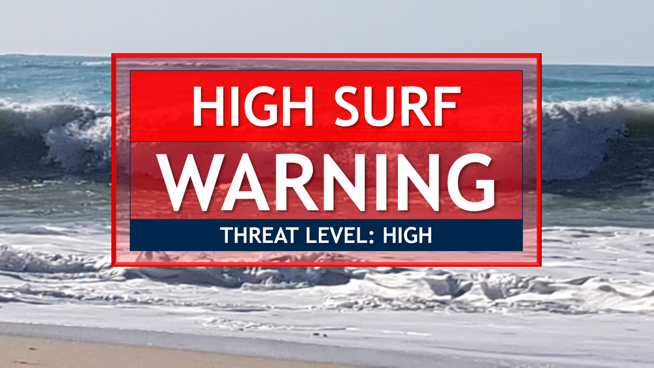
As usual, these swells will be virtually harmless in open waters, but they will be a very different “kettle of fish” when they run up on reefs and particularly northern and north-facing coastlines which are relatively shallow and gentle to moderately sloping. In these environs, surfs (breaking swells) could be as much as twice the height of swells, as they crash onto shorelines.
Precautionary actions: No one should enter the waters of the main warning areas: northern and eastern coastlines. All are also urged to stay away from rocky and or coastal structures along affected coastlines.
Source: Dale Destin