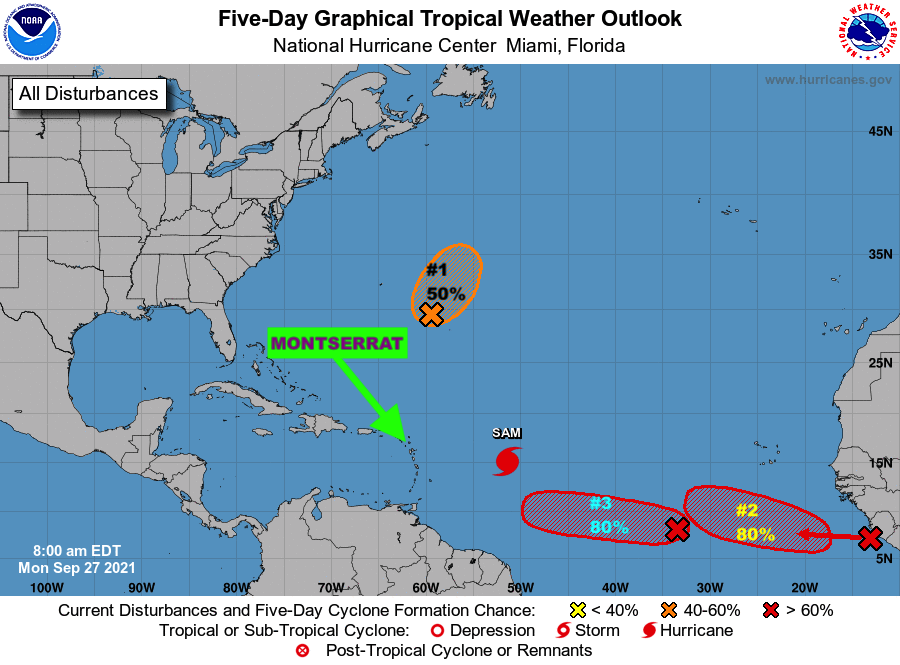
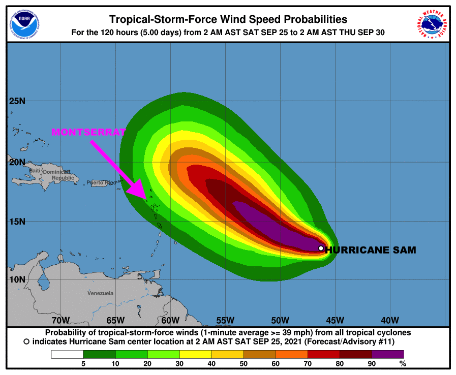
However, The Antigua and Barbuda Meteorological Services, in its 12:05 PM Tropical Cyclone Statement, said a Tropical Cyclone Alert Remains in Effect for Montserrat and residents here on Montserrat are still urged to closely monitor the progress of Hurricane Sam until it clears the area.
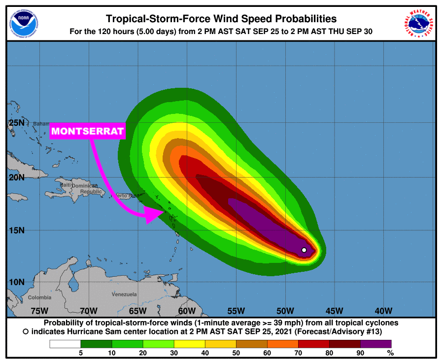
The Meteorological Agency stated that based on current information and analysis, Hurricane Sam is still expected to pass at a safe distance away from Montserrat between Tuesday and Wednesday with little or no wind impacts to the islands; however swells associated with Sam could impact coastal areas as early as tonight to produce dangerous surfs and rip currents; as a result, a high surf advisory is likely to be issued shortly.
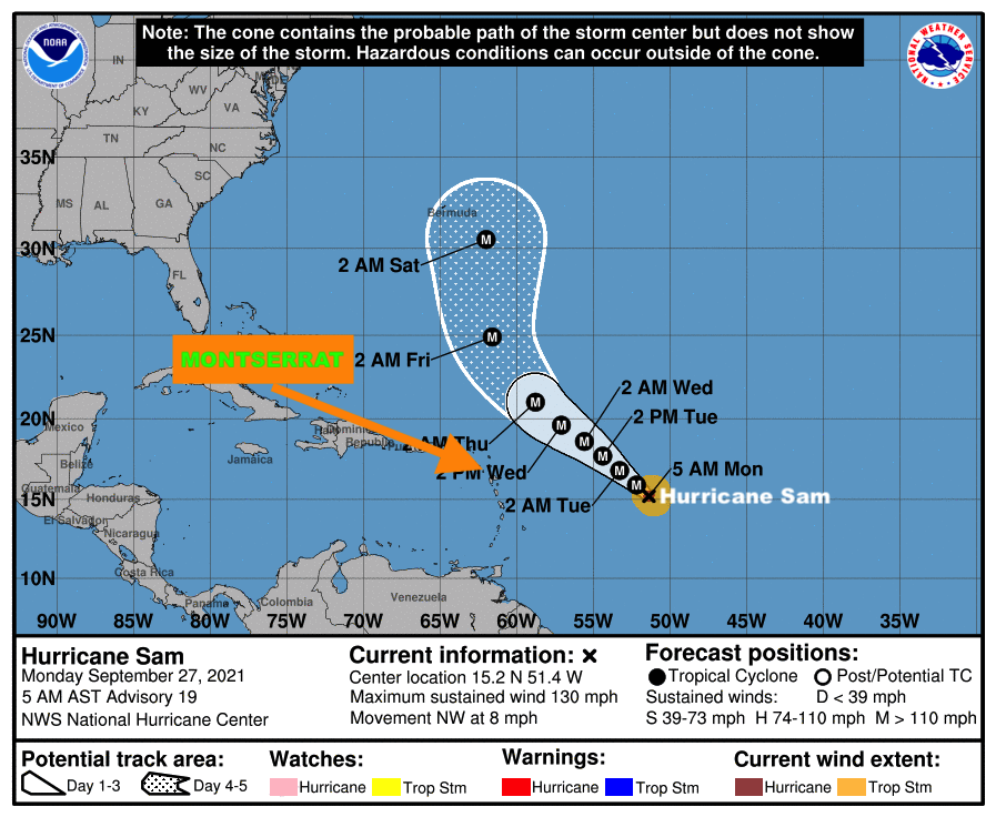
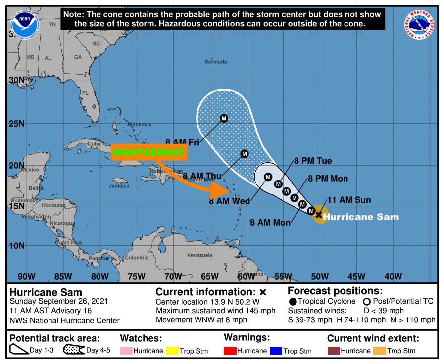
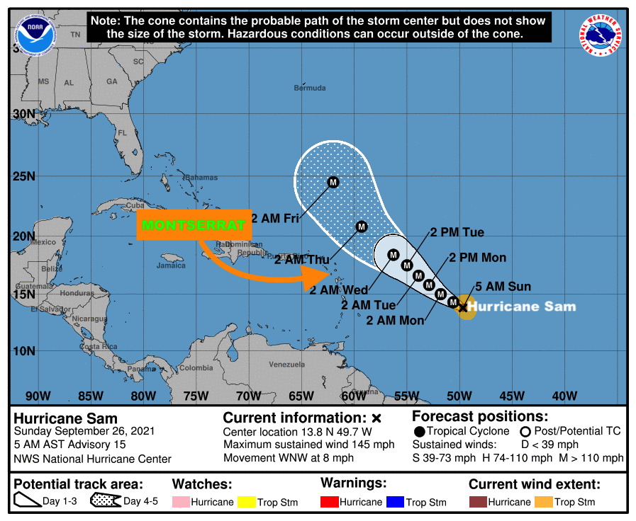
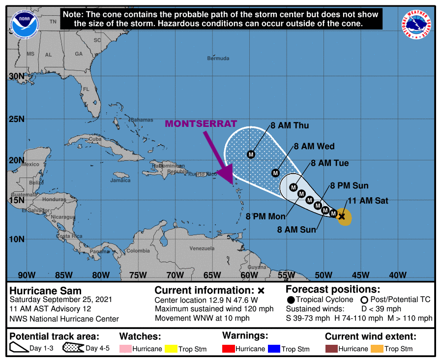
At 1100 am, the center of hurricane sam was located near latitude 15.6 north, longitude 52.0 west or approximately 745 miles east-southeast of the Leewards which include Montserrat.
Hurricane Sam is moving toward the northwest near 8 mph and this motion is expected to continue for the next few days, with an increase in forward speed beginning on Thursday. A turn to the north is expected on Friday. On the forecast track, Sam will pass well to the northeast of the northern Leeward islands which include Montserrat, on Wednesday and Thursday.

Maximum sustained winds are near 125 mph with higher gusts. Hurricane-force winds extend outward up to 30 miles from the center and tropical-storm-force winds extend outward up to 105 miles.
The minimum central pressure estimated from noaa hurricane hunter aircraft observations is 966 mb (28.53 inches).
Residents are again asked to closely monitor the progress of Hurricane Sam.The next advisory will be after 5 pm today.
FORECASTER LENARD JOSIAH