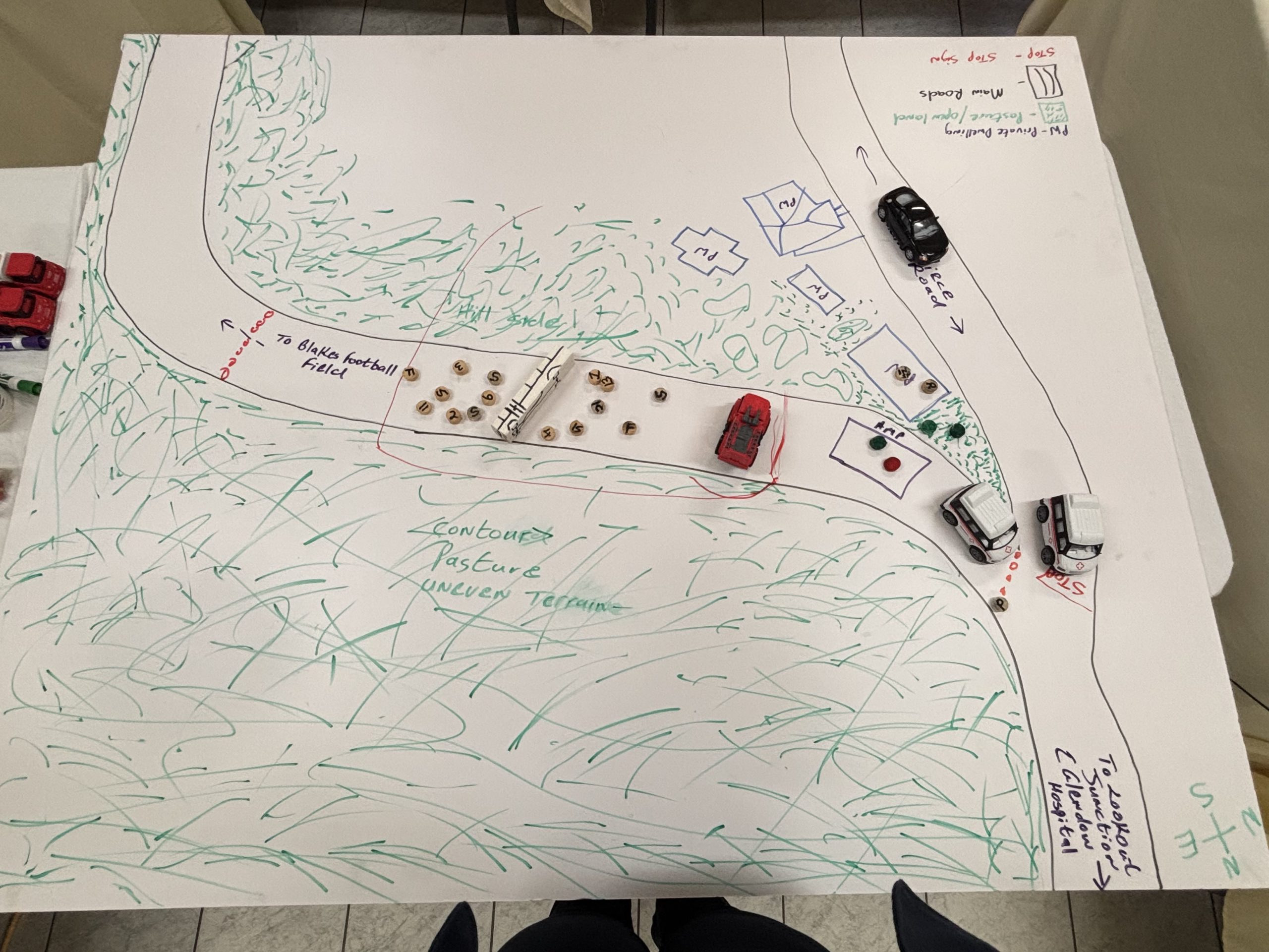
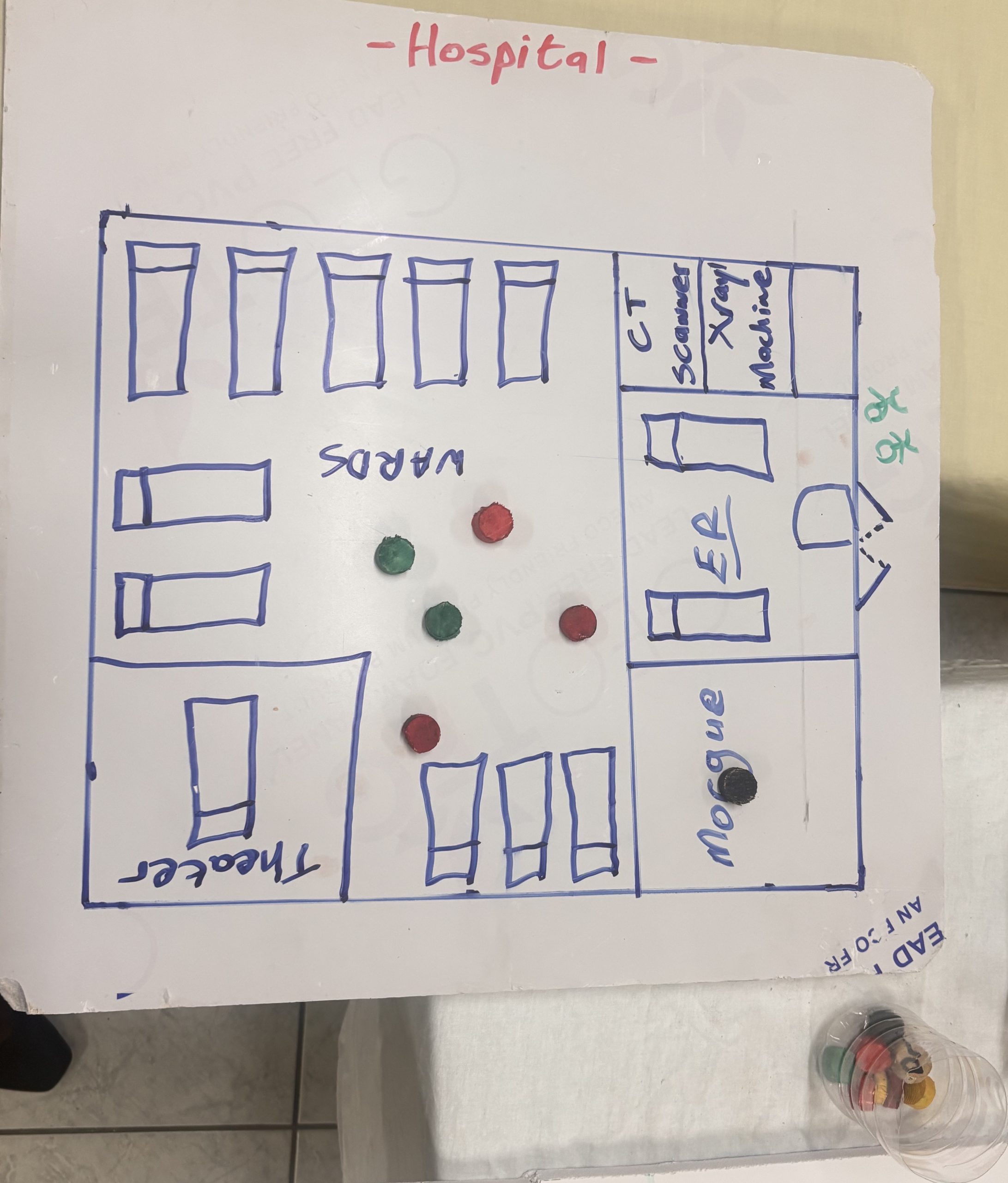
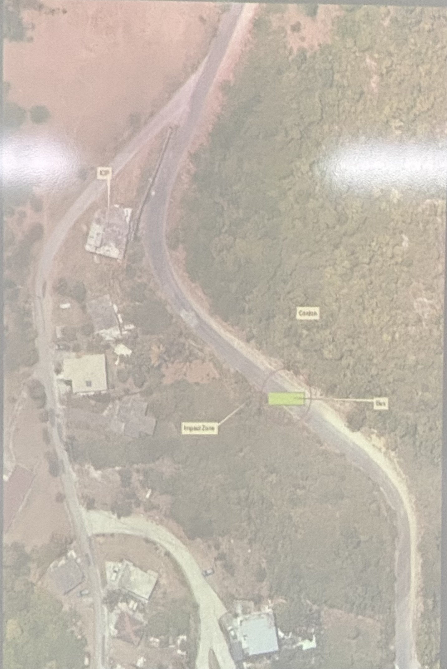
The Disaster Management Coordination Agency (DMCA) today hosted a national tabletop simulation exercise to assess Montserrat’s readiness for a mass casualty incident.
The exercise was designed to test stakeholder coordination, operational readiness, standard operating procedures (SOPs), and the effectiveness of a unified command structure.
Participants included officers from the Montserrat Fire and Rescue Service (MFRS), Royal Montserrat Police Force (RMPF), and the Royal Montserrat Defence Force (RMDF). Also participating were representatives from the Montserrat Port Authority, the Ministry of Health, the Office of the Deputy Governor, GIS, the Montserrat Red Cross, and the DMCA.
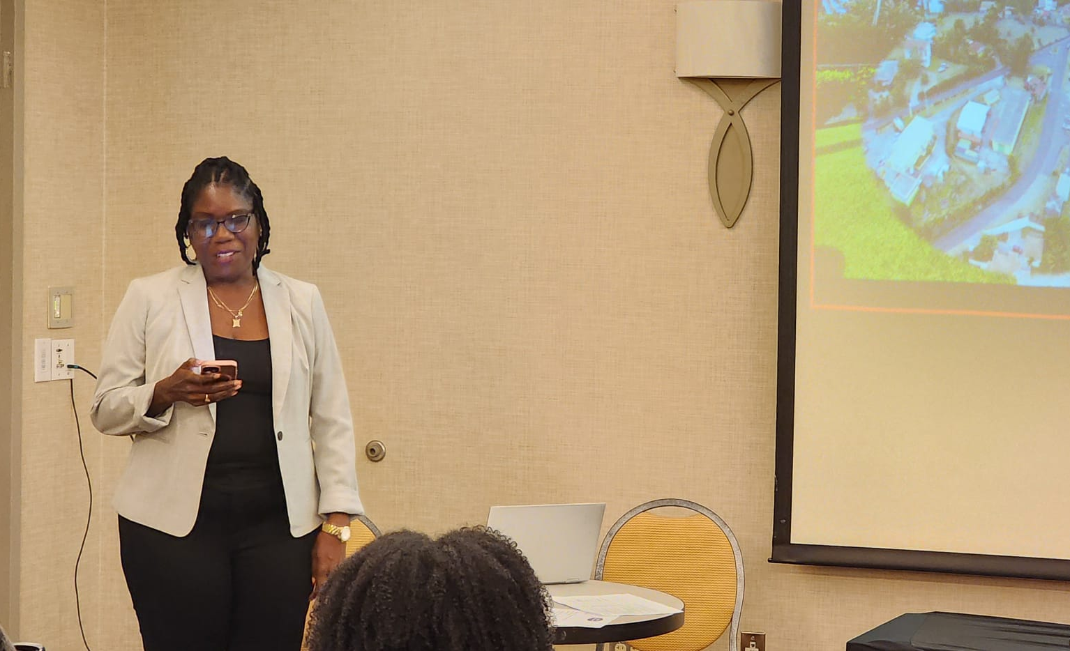
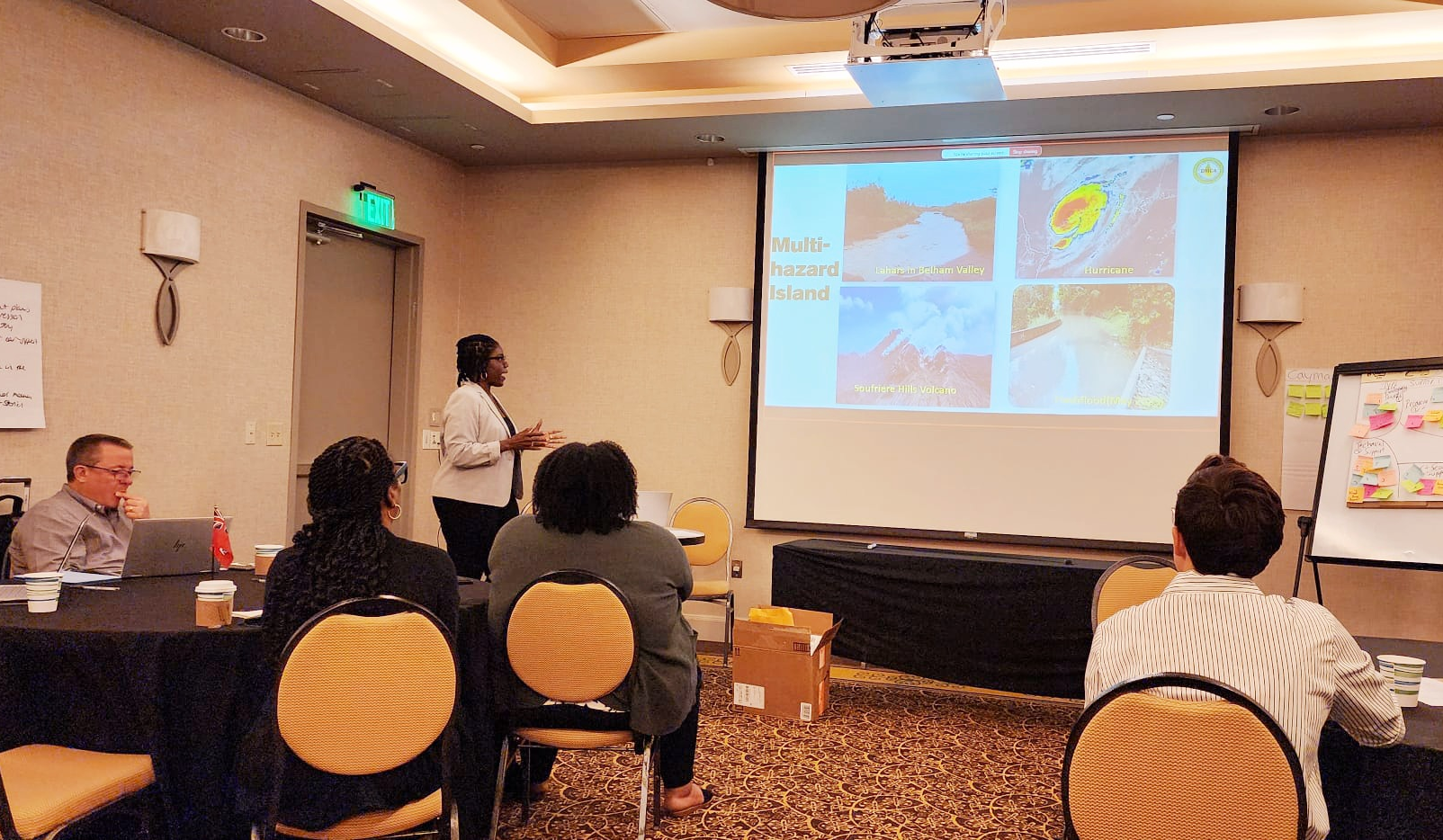
Miami, May 22, 2025 – On the final day of the UK Overseas Territories Conference in Miami, the Information and Education Officer at the Disaster Management Coordination Agency (DMCA), Shirlian Queeley, delivered a presentation on Montserrat’s strategic disaster resilience priorities for the period 2025–2028.
Her presentation supported the strategic design of a more robust and targeted disaster management project portfolio under the UK Foreign, Commonwealth & Development Office (FCDO) Civil Resilience Programme, which aims to enable multi-year programming across all UK Overseas Territories (UK OTs).
Key focus areas included DMCA’s Strategic Priorities (2025–2028), Core Capabilities for Development or Enhancement, and Local Priorities to Strengthen Montserrat’s Resilience.
Drawing reference to the recent heavy rainfall in May, which triggered widespread flash flooding across ghauts, culverts, low-lying, and flood-prone areas during the traditional dry season, Ms Queeley noted is a stark example of the increasing impacts of climate change, and highlighted the urgent need for significant investment in multi-hazard early warning systems and disaster risk reduction technologies.
Ms Queeley emphasized the importance of modern tools and infrastructure for managing disaster risk in Montserrat, including flood sensors, real-time weather stations, multi-hazard early warning sirens, a national emergency mobile app, properly equipped multi-hazard emergency shelters, a water bowser for emergency water distribution and comprehensive vulnerability mapping to identify at-risk populations and infrastructure.
She called for long-term funding, training in critical areas, and technological innovation to improve early warning capabilities, enhance preparedness, and reduce disaster impacts.
Through strategic partnerships and inclusive community engagement, Ms. Queeley affirmed the DMCA’s ongoing commitment to a safer, more climate and disaster resilience Montserrat.
Ms. Queeley expressed her gratitude to DMCA Director Lt. Col. Alvin Ryan for the opportunity to represent Montserrat at this important forum. Samuel Paice, Head of the Governor’s Office, and Lt. Col. Ryan also attended the conference.
The May 20–22, 2025, conference brought together representatives from disaster management agencies and Governors’ offices across the UK OTs to coordinate strategies, share lessons learned, and strengthen disaster preparedness across the Overseas Territories network.
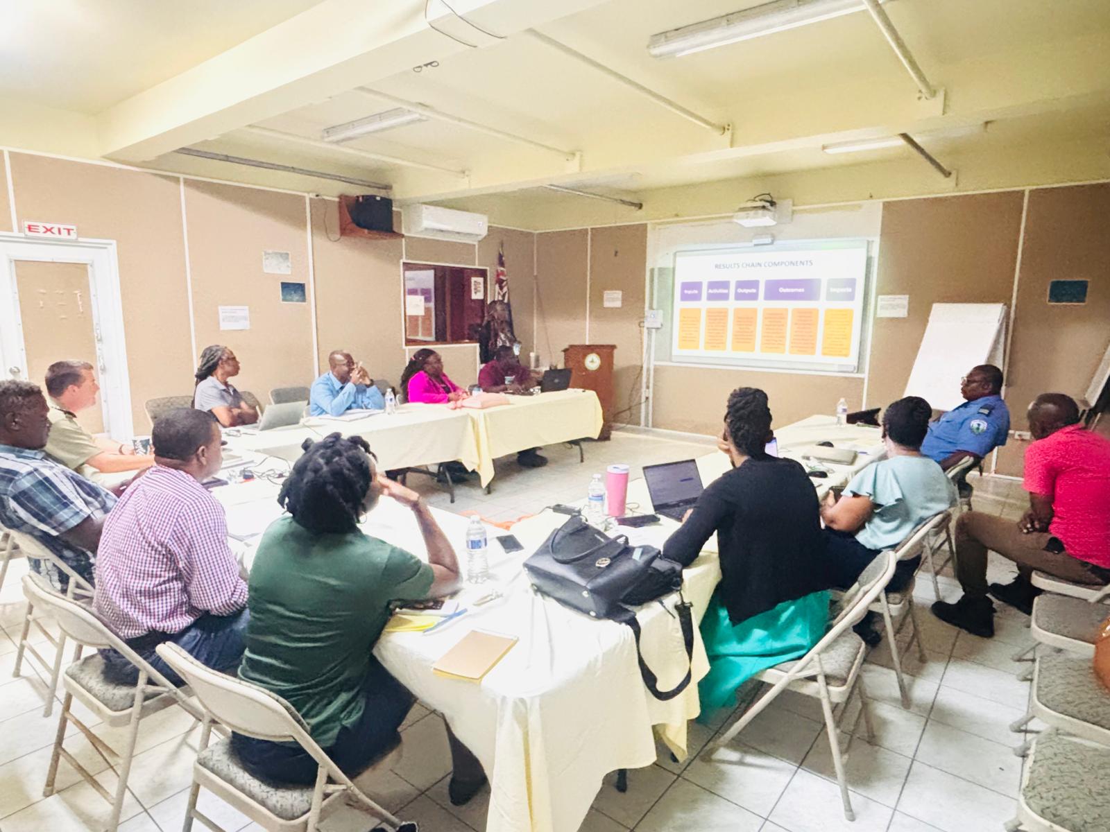
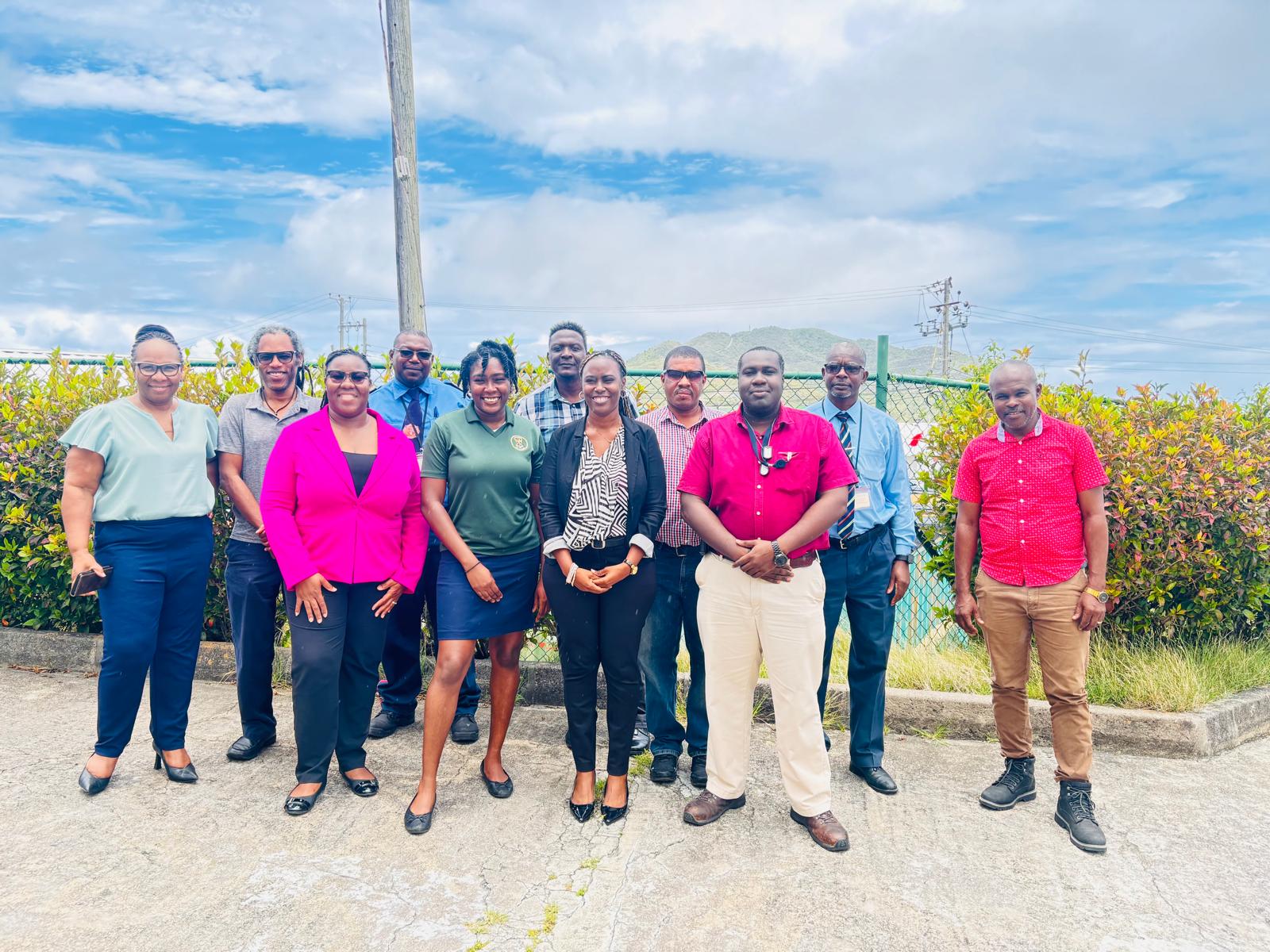
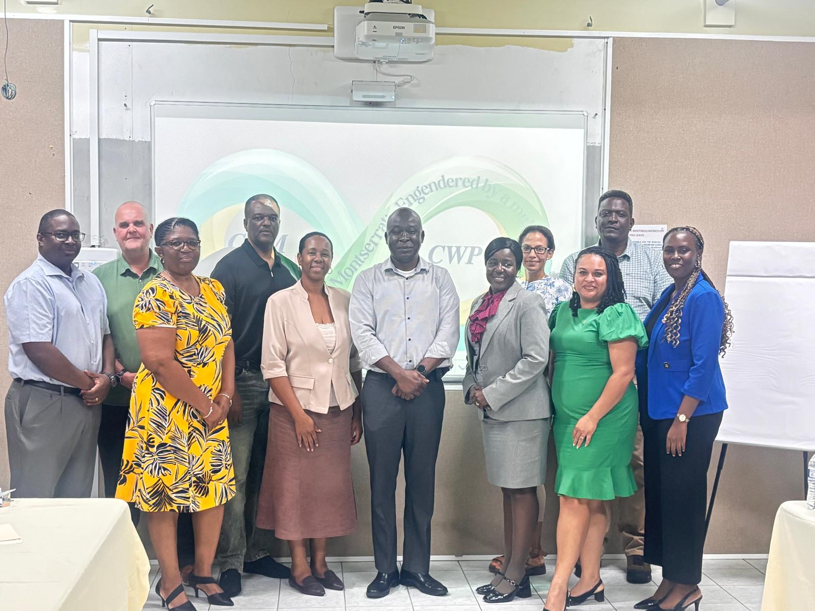
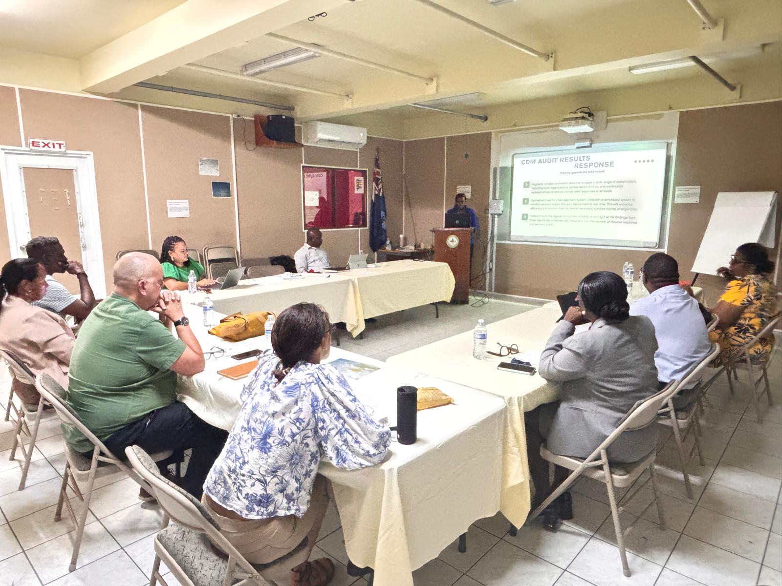
The second in-country consultation to support the development of a Comprehensive Disaster Management (CDM) Country Work Programme (CWP) for Montserrat was held on Wednesday, 30 April 2025, at the Disaster Management Coordination Agency (DMCA). The session brought together technocrats from both the public and private sectors.
This initiative aims to strengthen disaster risk reduction measures across Montserrat. In keeping with CDM’s “all people, all phases” approach, representatives from a wide range of organizations were invited to provide feedback and contribute to the activities and deliverables of the CWP, which will be a five-year strategic plan for Montserrat.
The consultation featured presentations and interactive sessions, including group discussions and participatory activities. Key areas of focus included drafting the CWP Impact Statement and its Outcome and Output statements.
Ms. Stacy-Ann Austin, Disaster Risk Management Technical Programming Associate at the University of the West Indies Disaster Risk Reduction Centre (UWI DRRC), who is leading the on-island consultations, delivered a featured presentation. She outlined the proposed approach to developing the CWP, highlighted priority areas to be addressed, and discussed the expected outcomes of the strategic plan.
Ms. Shirlian Queeley, Information and Education Officer at the DMCA reaffirmed the agency’s unwavering commitment to developing the CWP. She encouraged participants to actively contribute to this critical consultative process, which aims to build a stronger multi-hazard risk reduction culture in Montserrat.
Ms. Queeley emphasized that Montserrat’s resilience has been tested for nearly three decades—navigating life with an active volcano, the loss of two-thirds of its habitable land, and ongoing exposure to natural and technological hazards. These experiences have deepened our understanding of Montserrat’s unique vulnerabilities and strengthened our commitment to proactive, integrated disaster risk management. In this context, the Country Work Programme provides a strategic framework to address the gaps identified in the October 2024 CDM Audit, while also building on Montserrat’s existing strengths to enhance long-term resilience.
Looking ahead, the next phase of the process will focus on developing a performance Monitoring and Evaluation (M&E) framework for the CWP. This framework will ensure that implementation remains data-driven, transparent, and aligned with established goals. Once finalized, the CWP is expected to be endorsed at the highest levels of government, including at the Cabinet level.
The Country Work Programme will serve as a national blueprint for implementing CDM, aligning Montserrat’s disaster management efforts across all phases of the disaster cycle: preparedness, mitigation, response, and recovery. The CWP also promotes the active involvement of key stakeholders across all sectors and will ultimately serve as Montserrat’s strategic roadmap for reducing vulnerability and enhancing resilience to both natural and technological hazards.
The development of the CWP is being guided by the results of the Montserrat 2024 Comprehensive Disaster Management Audit, which assessed the island’s disaster risk reduction systems in line with regional and international standards. These stakeholder consultations represent a significant milestone in Montserrat’s ongoing commitment to building a safer, more resilient future through coordinated and comprehensive disaster management.
Montserrat held its first in-country consultation on Monday, 28 April 2025, as part of its efforts to develop a Comprehensive Disaster Management (CDM) Country Work Programme (CWP). The initiative aims to strengthen disaster risk reduction measures across the island.
The consultation, which took the form of a high-level meeting at the Disaster Management Coordination Agency (DMCA), brought together elected leaders and senior government officials. The session featured a presentation outlining the proposed approach to developing the CWP, the priority areas to be addressed, and the expected outcomes.
The Country Work Programme serves as a national blueprint for implementing CDM and will align disaster management efforts with all phases of the disaster cycle—preparedness, mitigation, response, and recovery. The CWP also promotes active engagement from key stakeholders across all sectors and will ultimately function as Montserrat’s strategic roadmap for reducing vulnerability and strengthening resilience to natural and technological hazards.
The Caribbean Disaster Emergency Management Agency (CDEMA), with funding from the Caribbean Development Bank (CDB), has partnered with the University of the West Indies Disaster Risk Reduction Centre (UWI DRRC) to support the development of Montserrat’s CWP. The programme will be implemented by the DMCA.
Development of the CWP will be guided by findings from Montserrat’s 2024 Comprehensive Disaster Management Audit, which assessed the island’s disaster risk reduction systems and processes in line with regional and international standards. The audit highlighted both significant strengths and critical gaps in Montserrat’s disaster management framework.
The high-level consultation was attended by the Hon. Acting Premier, Veronica Dorsette-Hector; Hon. Minister of Health and Education, Dr Ingrid Buffonge; Hon. Leader of the Opposition, Paul Lewis; Hon. Deputy Governor, Lindorna Lambert-Sweeney; Permanent Secretaries; Policy Advisor at the Governor’s Office, Phil Hickson; and senior technical staff of the DMCA.
This consultation will be followed by an all-day working meeting with technocrats from the public and private sectors. In keeping with CDM’s “all people, all phases” approach, representatives from various organizations will be consulted to provide feedback and contribute to the activities and deliverables of the five-year strategic plan.
Ms. Stacy-Ann Austin, Disaster Risk Management Technical Programming Associate at UWI DRRC, is leading the on-island consultations. Presentations were also delivered by the Director of the DMCA, Mr. Alvin Ryan.
These stakeholder consultations represent a significant step forward in Montserrat’s ongoing commitment to building a safer, more resilient future through coordinated and comprehensive disaster management.
The DMCA expressed gratitude to its technicians and Montserrat Utilities Limited for their dedicated efforts in ensuring the successful commissioning of the new generator.
The generator, installed on the DMCA compound, is one of two generators procured for the new Glendon Hospital project. The hospital project management team agreed to temporarily connect one of the generators to ensure a reliable power supply for both the hospital and DMCA.
The Disaster Management Coordination Agency (DMCA) hosted a tsunami awareness event at Lookout Primary School today, Thursday, March 20, 2025, as part of the annual CARIBE WAVE Exercise. The event engaged students from Grades 4, 5, and 6, aiming to strengthen tsunami preparedness efforts in Montserrat, the Caribbean, and surrounding regions.
DMCA Information and Education Officer Shirlian Queeley, emphasized that while no evacuation drills were scheduled for today, it is crucial for children—one of the most vulnerable groups in our communities and future leaders—to receive firsthand information about tsunami risks. She stressed that this knowledge ensures students know how to respond if they ever face a potential tsunami threat, especially while at the beach.
Beyond immediate preparedness, Miss Queeley highlighted that students will develop lifelong knowledge, enhancing their resilience against various hazards and contributing to a more disaster-ready Montserrat.
Regular CARIBE WAVE Exercises play a key role in testing response agencies’ operational readiness and keeping the public informed and prepared for real events. These exercises align with the objectives of the Sendai Framework for Disaster Risk Reduction and the Early Warnings for All initiative.
Additionally, Miss Queeley noted that students from Grades 4 to 6 had the opportunity to learn more about emergency preparedness and win prizes.
As a fundamental tsunami preparedness rule: “Once you receive a warning, head to higher ground.”
These floods, composed of fast-moving water and volcanic debris, can occur suddenly and unpredictably.
Extreme caution is advised when crossing the Belham Valley during heavy or prolonged rainfall, as lahars can form rapidly, posing serious safety risks.