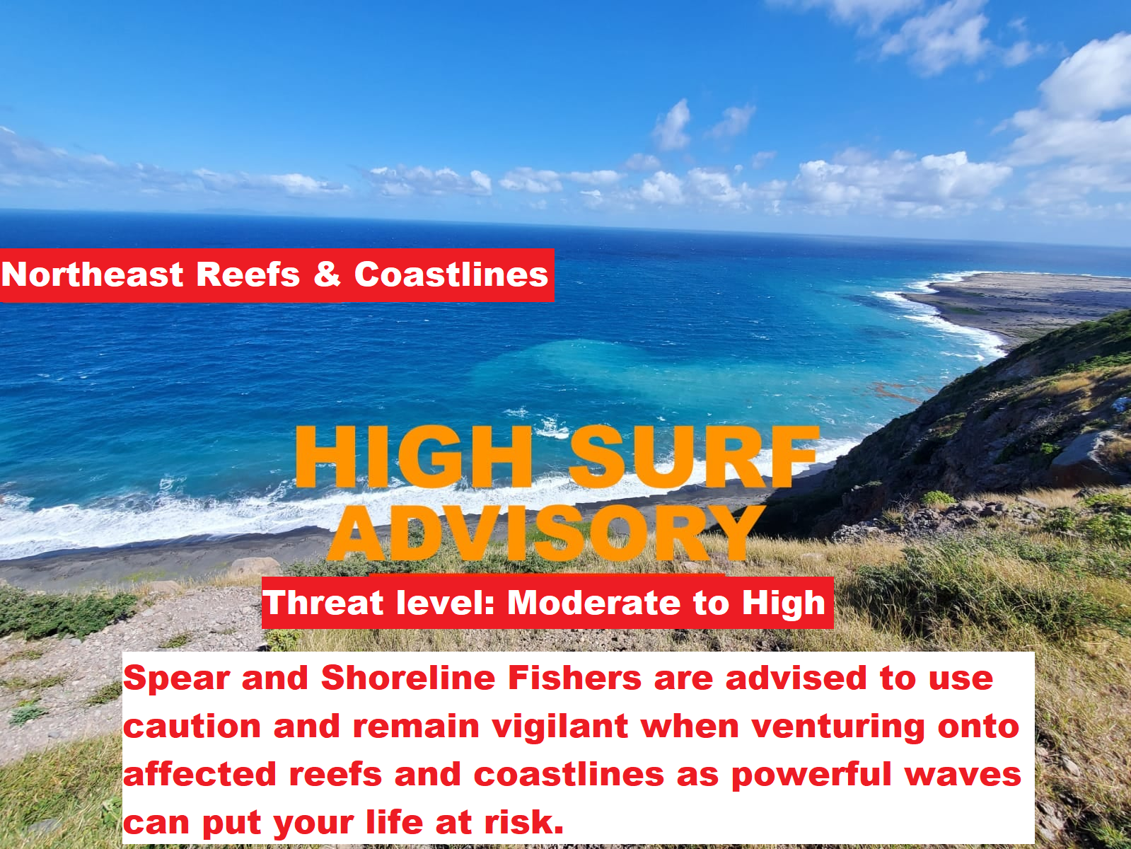
Spear and Shoreline Fishers are advised to use caution and remain vigilant when venturing onto affected reefs and coastlines as powerful waves can put your life at risk.
Locations to be affected: Reefs and exposed northeast coastlines with relatively shallow, gently to moderately sloping, nearshore areas.
According to the Antigua and Barbuda Meteorological Services, Moderate long-period swells are reaching the area and affecting mainly the northern coastlines. The threat level to the life, livelihood, property and infrastructure of those using the affected coastlines is moderate to high.
Synopsis: These swells could cause life-threatening surfs and rip currents on affected coastlines. A high surf advisory means that dangerous surfs of 2 to 3 metres or 6 to 10 feet will affect some coastlines in the advisory area, producing hazardous conditions. Seas (significant wave heights): 1.5 to 2.4 metres (5 to 8 feet), occasionally or locally reaching near 3.0 metres (10 feet). Swell period: 10 to 17 seconds. Swells: Northeast at 1.5 to 2.4 metres (5 to 8 feet) and occasionally higher. The highest swells are likely later today through Wednesday morning; a warning may be required.
Surfs (breaking swells): Over 2 metres (over 6 feet). These conditions are conducive for dangerous rip currents. Please note that surfs could be as much as twice the height of swells, depending on the bathymetry of the nearshore areas. Coastal flooding: High tides combined with onshore wind and swell actions could result in localized coastal flooding and beach erosion.
Potential Impacts: Loss of life–strong currents that can carry even the strongest swimmers out to sea; injuries to beachgoers; beach erosion; sea water splashing onto low-lying coastal roads; beach closures; localized disruptions to marine recreation and businesses; financial losses; damage to coral reefs; saltwater intrusion and disruptions to potable water from desalination. High surfs can knock spectators off exposed rocks and jetties.
Precautionary: Beachgoers, especially to the mainly affected coastlines, should be extremely cautious; bathe only where lifeguards are present or on the sheltered, less affected beaches, mainly to the south. Extreme caution is also required by those using the affected non-beach or rocky coastlines.
Rip currents are powerful channels of water flowing quickly away from shore, which occur most often at low spots or breaks in the sandbar and near structures such as groins, jetties and piers. If caught in a rip current, relax and float. Don`t swim against the current. If able, swim in a direction following the shoreline. If unable to escape, face the shore and call or wave for help.
Please continue to monitor DMCA Facebook, Instagram and Twitter social media sites and our website http://dmca.gov.ms for daily weather updates, public advisories and warnings and information on the wide range of natural and man-made hazards that have the potential to impact Montserrat.
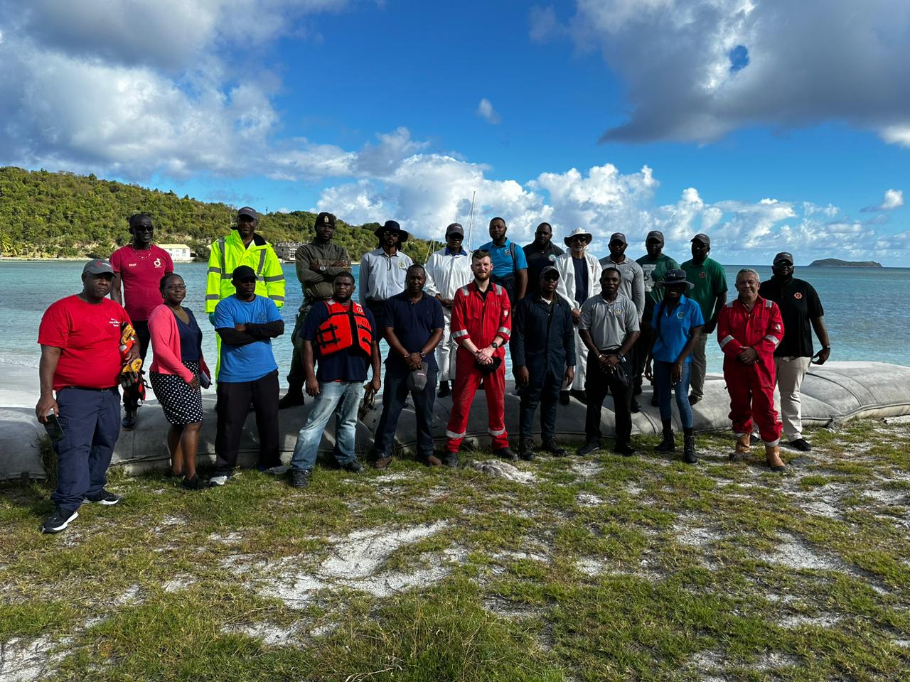
The Disaster Management Coordination Agency (DMCA) and the Montserrat Port Authority (MPA) continue to upgrade the skills of their volunteers on Montserrat to respond to oil spill events onshore and offshore.
Three individuals from Montserrat received training in Ambipar Response in best practices for managing oil spill events in the British Virgin Islands this month.
They are Forestry Officer Lloyd Martin, Sergeant Melvin Lindsey of the Royal Montserrat Defence Force (RMDF) and Kayla Ryan of the Montserrat Port Authority.
Thirty-five participants from the Virgin Islands, Anguilla, Cayman Islands, Montserrat, and Turks and Caicos, as well as partners from the private sector, received training from Ambipar Response in best practices for managing oil spill events.
The sessions were held on February 8 to 10 and February 13 to 16 and covered the essentials of managing oil spill response including contingency planning, responder safety, spilt oil behaviour, oil containment and removal, and shoreline management.
The series of workshops were funded by the United Kingdom Maritime and Coastguard Agency through the Conflict, Stability and Security Fund.
Therefore, Spear and Shoreline Fishers are advised to use caution and remain vigilant when venturing onto affected reefs and coastlines as powerful waves can put your life at risk. The highest seas and swells are likely Friday and Saturday.
Locations to be affected: Reefs and exposed northeast coastlines with relatively shallow, gently to moderately sloping, nearshore areas.
Timing: Until Monday
According to the Antigua and Barbuda Meteorological Services, Moderate long-period swells are reaching the area and affecting mainly the northern coastlines. The threat level to the life, livelihood, property and infrastructure of those using the affected coastlines is moderate. These swells could cause life-threatening surfs and rip currents on affected coastlines. A high surf advisory means that dangerous surfs of 2 to 3 metres or 6 to 10 feet will affect some coastlines in the advisory area, producing hazardous conditions.
Seas (significant wave heights): 2.1 to 3.4 metres (7 to 11 feet), occasionally or locally reaching over 4.0 metres (14 feet). Swell period: 9 to 14 seconds. Swells: North at 1.5 to 2.1 metres (5 to 7 feet) and occasionally higher.
Surfs (breaking swells): Over 2 metres (over 6 feet). These conditions are conducive for dangerous rip currents. Please note that surfs could be as much as twice the height of swells, depending on the bathymetry of the nearshore areas.
Coastal flooding: High tides combined with onshore wind and swell actions could result in localized coastal flooding and beach erosion.
Potential Impacts: Loss of life–strong currents that can carry even the strongest swimmers out to sea; injuries to beachgoers; beach erosion; sea water splashing onto low-lying coastal roads; beach closures; localized disruptions to marine recreation and businesses; financial losses; damage to coral reefs; saltwater intrusion and disruptions to potable water from desalination. High surfs can knock spectators off exposed rocks and jetties.
Precautionary: Beachgoers, especially to the mainly affected coastlines, should be extremely cautious; bathe only where lifeguards are present or on the sheltered, less affected beaches, mainly to the south and west. Extreme caution is also required by those using the affected non-beach or rocky coastlines.
Rip currents are powerful channels of water flowing quickly away from shore, which occur most often at low spots or breaks in the sandbar and near structures such as groins, jetties and piers. If caught in a rip current, relax and float. Don`t swim against the current. If able, swim in a direction following the shoreline. If unable to escape, face the shore and call or wave for help.
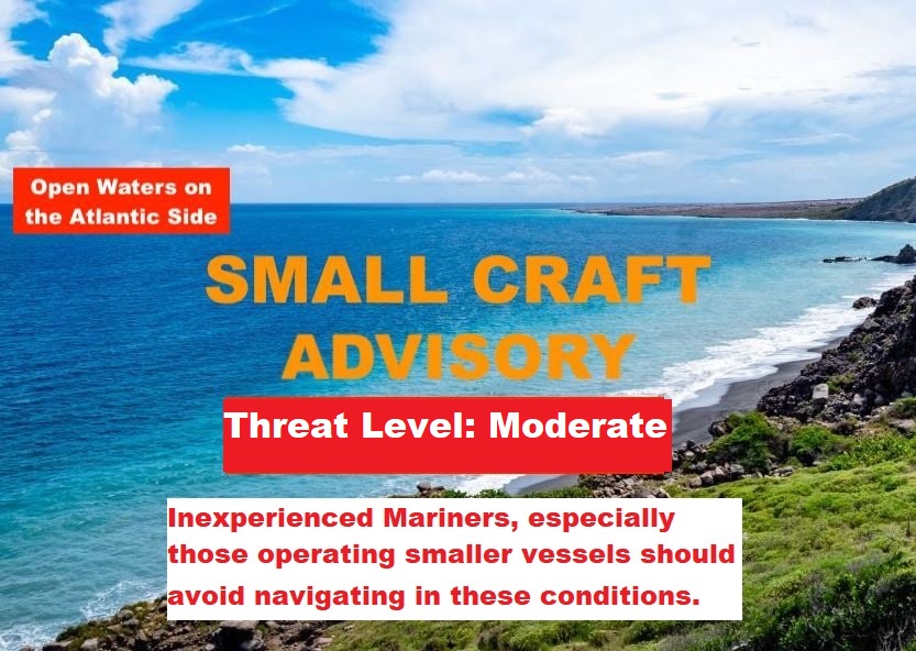
According to the Antigua and Barbuda Meteorological Services, a combination of wind waves and wind swells is causing hazardous seas. Hence, Inexperienced mariners, especially those operating smaller vessels should avoid navigating in these conditions.
Synopsis: The threat level to the livelihood, property and infrastructure of mariners is moderate to high with the potential for significant impacts. A small craft advisory means that wind speeds of 21 to 33 knots and or wind waves and or wind swells of 7 feet or greater are occurring or imminent.
Winds over open waters: East-northeast at 26 to 41 km/h (14 to 22 knots; 16 to 25 mph), with strong gusts to as high as 63 km/h (34 knots; 39 mph). Winds over the period Thursday night to Saturday will possibly range between 30 to 45 km/h (16 to 24 knots; 18 to 28 mph) with gusts to over gale-force or near 68 km/h (37 knots; 42 mph).
Seas (significant wave heights): 2.1 to 3.4 metres(7 to 11 feet), occasionally or locally reaching over 4.0 metres (14 feet). Wind waves and or wind swells: 1.5 to 2.4 metres or 5 to 8 feet and occasionally higher. The dominant wind wave period is 6 to 9 seconds.
Potential Impacts: Loss of life at sea; injuries to mariners; capsize or damage or loss of vessels and marine equipment; financial losses; disruption of fisheries and scarcity of fish products and disruption to marine transportation.
Please continue to monitor DMCA Facebook, Instagram and Twitter social media sites and our website http://dmca.gov.ms for daily weather updates, public advisories and warnings and information on the wide range of natural and man-made hazards that have the potential to impact Montserrat.
According to the Antigua and Barbuda Meteorological Services, A combination of wind waves and wind swells is causing hazardous seas. Hence, Inexperienced mariners, especially those operating smaller vessels should avoid navigating in these conditions.
Synopsis: The threat level to the life, livelihood, property and infrastructure of mariners is moderate to high with the potential for significant to extensive impacts. A small craft advisory means that wind speeds of 21 to 33 knots and or wind waves and or wind swells of 7 feet or greater are occurring or imminent.
Winds over open waters: East at 26 to 41 km/h (14 to 20 knots; 16 to 23 mph), with strong gusts to as high as 57 km/h (31 knots; 36 mph).
Seas (significant wave heights): 1.8 to 2.7 metres (6 to 9 feet), occasionally or locally reaching near 3.5 metres (12 feet). Wind waves and or wind swells: 1.5 to 2.1 metres or 5 to 8 feet and occasionally higher. The dominant wind wave period is 6 to 9 seconds.
Potential Impacts: Loss of life at sea; injuries to mariners; capsize or damage or loss of vessels and marine equipment; financial losses; disruption of fisheries and scarcity of fish products and disruption to marine transportation.
Please continue to monitor DMCA Facebook, Instagram and Twitter social media sites and our website http://dmca.gov.ms for daily weather updates, public advisories and warnings and information on the wide range of natural and man-made hazards that have the potential to impact Montserrat.
According to the Antigua and Barbuda Meteorological Services, moderate long-period swells are expected to reach the area and affect mainly the northern, north facing and eastern coastlines. Therefore, Beachgoers, especially to the mainly affected coastlines, should be extremely cautious; bathe only where lifeguards are present or on the sheltered, less affected beaches, mainly to the south. Extreme caution is also required by those using the affected non-beach or rocky coastlines.
Locations to be affected: Reefs and exposed northern, north-facing and eastern coastlines with relatively shallow, gently to moderately sloping, nearshore areas.
Synopsis: The threat level to the life, livelihood, property and infrastructure of those using the affected coastlines is forecast to rise to moderate to high with the potential for significant to extensive impacts. These swells could cause life-threatening surfs and rip currents on affected coastlines. A high surf advisory means that dangerous surfs of 2 to 3 metres or 6 to 10 feet will affect some coastlines in the advisory area, producing hazardous conditions.
Seas (significant wave heights): 1.8 to 3.0 metres (6 to 10 feet), occasionally or locally reaching near 4.0 metres (13 feet). Swell period: 9 to 14 seconds. Swells: North Monday, shifting northeast Tuesday at 1.8 to 2.7 metres (6 to 9 feet) and occasionally higher. The highest swells are likely on Monday when the advisory will likely be upgraded to a warning for some areas.
Surfs (breaking swells): Over 2 metres (over 6 feet). These conditions are conducive for dangerous rip currents. Please note that surfs could be as much as twice the height of swells, depending on the bathymetry of the nearshore areas.
Coastal flooding: High tides combined with onshore wind and swell actions could result in localized coastal flooding and beach erosion.
Potential Impacts: Loss of life–strong currents that can carry even the strongest swimmers out to sea; injuries to beachgoers; beach erosion; sea water splashing onto low-lying coastal roads; beach closures; localized disruptions to marine recreation and businesses; financial losses; damage to coral reefs; saltwater intrusion and disruptions to potable water from desalination. High surfs can knock spectators off exposed rocks and jetties.
Rip currents are powerful channels of water flowing quickly away from shore, which occur most often at low spots or breaks in the sandbar and near structures such as groins, jetties and piers. If caught in a rip current, relax and float. Don`t swim against the current. If able, swim in a direction following the shoreline. If unable to escape, face the shore and call or wave for help.
Please continue to monitor DMCA Facebook, Instagram and Twitter social media sites and our website http://dmca.gov.ms for daily weather updates, public advisories and warnings and information on the wide range of natural and man-made hazards that have the potential to impact Montserrat.
According to the Antigua and Barbuda Meteorological Services, a combination of wind waves and wind swells is causing hazardous seas. The highest seas will be today, Sunday. The dominant wind wave period is 6 to 9 seconds. Hence, Inexperienced Mariners, especially those operating smaller vessels should avoid navigating in these conditions.
Synopsis: The threat level to the life, livelihood, property and infrastructure of mariners is moderate with the potential for significant impacts. A small craft advisory means that wind speeds of 21 to 33 knots and or wind waves and or wind swells of 7 feet or greater are occurring or imminent.
Winds over open waters: East at 26 to 41 km/h (14 to 22 knots; 16 to 25 mph), with strong gusts to as high as 63 km/h (34 knots; 39 mph). The highest sustained winds and gusts are expected on Sunday.
Seas (significant wave heights): 1.8 to 2.7 metres (6 to 9 feet), occasionally or locally reaching 3.5 metres (12 feet). Wind waves and or wind swells: 1.5 to 2.4 metres or 5 to 8 feet and occasionally higher.
Potential Impacts: Loss of life at sea; injuries to mariners; capsize or damage or loss of vessels and marine equipment; financial losses; disruption of fisheries and scarcity of fish products and disruption to marine transportation.
Please continue to monitor DMCA Facebook, Instagram and Twitter social media sites and our website http://dmca.gov.ms for daily weather updates, public advisories and warnings and information on the wide range of natural and man-made hazards that have the potential to impact Montserrat.
According to the Antigua and Barbuda Meteorological Services, a combination of wind waves and wind swells is causing hazardous seas. Hence, Inexperienced Mariners, especially those operating smaller vessels should avoid navigating in these conditions.
Synopsis: The threat level to the life, livelihood, property and infrastructure of mariners is moderate with the potential for significant impacts. A small craft advisory means that wind speeds of 21 to 33 knots and or wind waves and or wind swells of 7 feet or greater are occurring or imminent.
Winds over open waters: East at 26 to 41 km/h (14 to 22 knots; 16 to 25), with strong gusts to as high as 63 /h (34 knots; 39 mph). The highest sustained winds and gusts are expected on Sunday.
Seas (significant wave heights): 1.8 to 2.7 metres (6 to 9 feet), occasionally or locally reaching 3.5 metres (12 feet).
Wind waves and or wind swells: 1.5 to 2.4 metres or 5 to 8 feet and occasionally higher. The highest seas will be on Sunday. The dominant wind wave period is 6 to 9 seconds.
Potential Impacts: Loss of life at sea; injuries to mariners; capsize or damage or loss of vessels and marine equipment; financial losses; disruption of fisheries and scarcity of fish products and disruption to marine transportation.
Please continue to monitor DMCA Facebook, Instagram and Twitter social media sites and our website http://dmca.gov.ms for daily weather updates, public advisories and warnings and information on the wide range of natural and man-made hazards that have the potential to impact Montserrat.
Beachgoers, Spear and Shoreline Fishers are advised to use caution and remain vigilant when venturing onto affected coastlines as powerful waves can put your life at risk.
Synopsis: Moderate long-period swells are reaching the area and affecting mainly the northern and eastern coastlines. The threat level to the life, livelihood, property and infrastructure of those using the affected coastlines is moderate to high with the potential for significant to extensive impacts. These swells could cause life threatening surfs and rip currents on affected coastlines. A high surf advisory means that dangerous surfs of 2 to 3 metres or 6 to 10 feet will affect some coastlines in the advisory area, producing hazardous conditions.
Seas (significant wave heights): 1.5 to 2.4 metres (5 to 8 feet), occasionally or locally reaching near 3.0 metres (10 feet). Swell period: 9 to 14 seconds. Swells: Northeast at 1.5 to 2.1 metres (5 to 7 feet) and occasionally higher.
Surfs (breaking swells): Over 2 metres (over 6 feet). These conditions are conducive for dangerous rip currents. Please note that surfs could be as much as twice the height of swells, depending on the bathymetry of the nearshore areas.
Coastal flooding: High tides combined with onshore wind and swell actions could result in localized coastal flooding and beach erosion.
Potential Impacts: Loss of life–strong currents that can carry even the strongest swimmers out to sea; injuries to beachgoers; beach erosion; sea water splashing onto low-lying coastal roads; beach closures; localized disruptions to marine recreation and businesses; financial losses; damage to coral reefs; saltwater intrusion and disruptions to potable water from desalination. High surfs can knock spectators off exposed rocks and jetties.
Precautionary: Beachgoers, especially to the mainly affected coastlines, should be extremely cautious; bathe only where lifeguards are present or on the sheltered, less affected beaches, mainly to the south. Extreme caution is also required by those using the affected non-beach or rocky coastlines.
Rip currents are powerful channels of water flowing quickly away from shore, which occur most often at low spots or breaks in the sandbar and near structures such as groins, jetties and piers. If caught in a rip current, relax and float. Don`t swim against the current. If able, swim in a direction following the shoreline. If unable to escape, face the shore and call or wave for help.
Disclaimer: The Disaster Management Coordination Agency (DMCA) is the national body responsible for coordinating the management of emergencies and disasters in Montserrat, and is not an official Meteorological Agency. The Information disseminated by the Department is gathered from a number of professional sources utilized by the DMCA and the Antigua and Barbuda Meteorological Services, the agency responsible for aviation weather products and services for Montserrat.
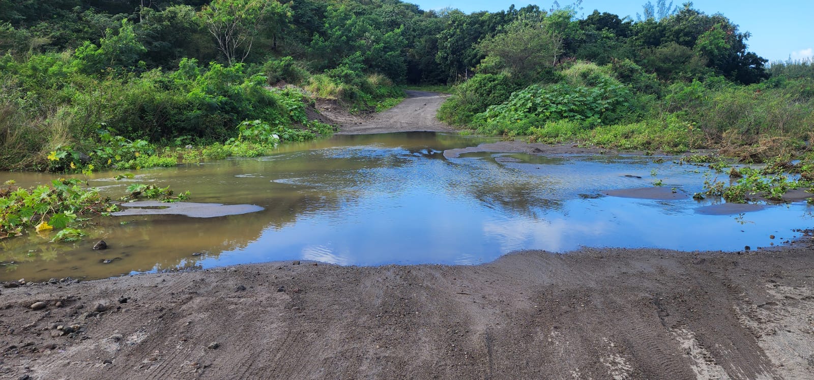
Yellow Hill – Monday, 16 January 2023 – The Disaster Management Coordinating Agency (DMCA) is advising residents in the Isles Bay Hill and Woodsville area, Sandminers, and other members of the public that both roads leading into the Belham Valley River remain completely impassable until further notice and extremely dangerous. Absolutely no one should attempt to cross the Belham Valley at this time as water is still flowing in the valley.
According to the Antigua and Barbuda Meteorological Services, an approaching frontal trough will increase the chances for showers today and tonight across Montserrat, which could trigger further lahars or mudflows to occur in the Belham Valley River and flash flooding in low-lying areas across the island.
Residents south of Belham Valley River should contact Lieutenant Colonel Alvin Ryan at 492-2947 or the Salem Police at 491 -5255 in the event of an emergency.
Residents should be mindful that any attempt to cross the Belham Valley at this time can be dangerous, and vehicles can be swept away or stalled in flowing water.
The Public Works Department is working to have the roads cleared as soon as possible, weather permitting. Hence, residents in the Isle Bay Hill and Woodsville area and other members of the public are urged to be patient at this time.