A natural event occurring is just a matter of ‘when’; bringing to light the importance of risk reduction and mitigation in reducing the impact of natural hazards on life, limb and property in Montserrat.
It is in this context, the Disaster Management Coordination Agency (DMCA) underscores the significance of raising awareness of International Day for Disaster Risk Reduction held annually on Thursday, 13 October 2022.
This year, the theme is Target G of the Sendai Framework: “Substantially increase the availability of and access to multi-hazard early warning systems and disaster risk information and assessments to people by 2030.”
The day will focus primarily on “increasing efficiencies through stronger coordination to address early warning systems for multiple hazards”.
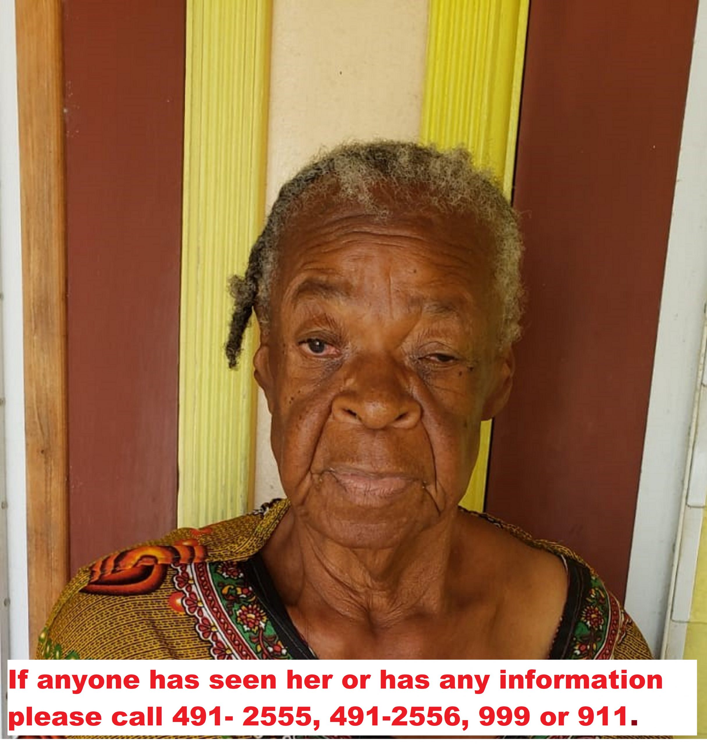
Multi-Hazard Early Warning Systems are critical in supporting disaster risk management (DRM) in Montserrat and strengthening community resilience to save lives. Therefore, the DMCA recognizes the importance of Multi-Hazard Early Warning Systems in ensuring vulnerable people, including senior citizens, children, and the disabled are not left behind when a warning is issued.
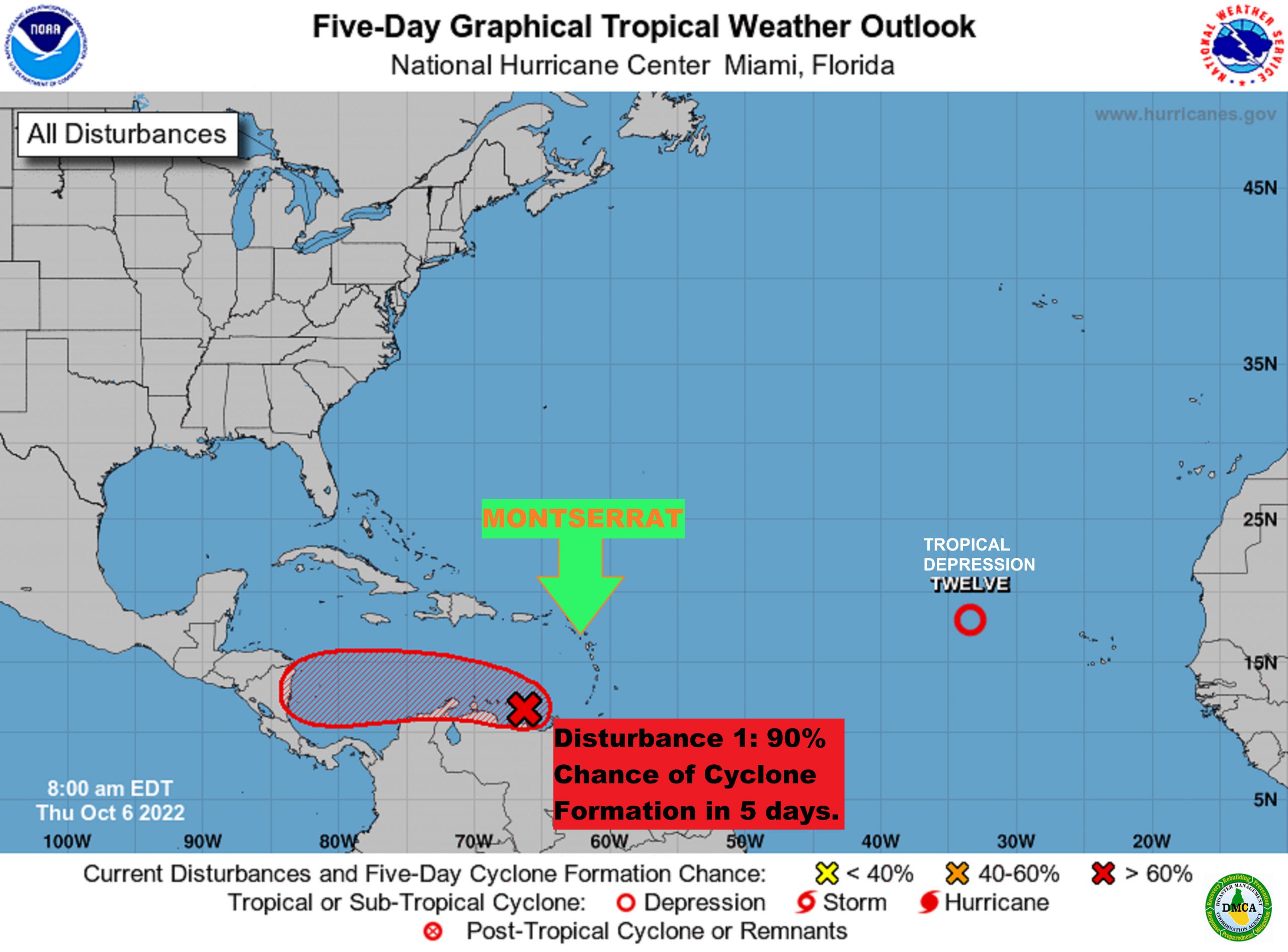
Although Montserrat has a national early warning system (sirens), we still have a long way to go in terms of having it customized for multiple hazards on Montserrat for different groups to meet their specific needs to reduce harm and speed up recovery.
To this end, the Disaster Management Coordination Agency is looking at upgrading its current early warning system, to communicate swiftly and effectively with the citizens of Montserrat before, during and after an emergency, an incident or a hazard event.
The DMCA has embarked on a project to develop a DMCA Alerting App for iPhone and Android smartphones in three different languages designed to notify and communicate emergency information and assist residents in Montserrat to be prepared for emergencies, incidents and hazard events and to report an emergency.
Plans are also in the pipeline to reintroduce the Common Alerting Protocol (CAP) system that gives the DMCA the ability to provide timely, efficient, actionable and people-centric early warning on multiple platforms at the push of a button.
In recognition of the occasion, the DMCA will host a panel discussion on ZJB Radio at 12: 15 p.m. on Disaster Risk Reduction in the Montserrat context. The guest speakers will be Operations and Logistics Officer at the DMCA Kelvin White and TiVonne Howe who is pursuing PhD studies in Volcanology. During that time, two individuals will have an opportunity to each win an emergency preparedness gift kit.
Additionally in marking the day, the DMCA has implemented an “Adopt-a-Class programme” in which Grade 6 students of the Brades Primary School will visit the DMCA to get a firsthand view of a demonstration test of the early warning systems (sirens), learn about disaster risk reduction and participate in an earthquake and tsunami drills. A different class will be selected yearly to participate in the programme from the three primary schools on the island.
During the demonstration, the public will hear the sirens and public address announcements. Residents and visitors are asked not to be alarmed as it is just a demonstration to test the capability of the sirens messaging platform.
International Day for Disaster Risk Reduction is a timely reminder to ensure that each of us is prepared for hazardous events as preparedness is our best defence against emergencies, incidents or natural events.” Our risks can be reduced with good preparation.
“Early warning saves lives and can cut the ensuing damage by 30 per cent.”