Issued: Wednesday, September 3, 2025 – 9:30 a.m.
The Antigua and Barbuda Meteorological Service continues to monitor the progress of an active tropical wave over the eastern tropical North Atlantic. The system has a high chance of developing into a tropical depression or storm later this week or the weekend as it moves generally westward toward the region.
At this early stage, it remains uncertain if or when the system will develop or whether it will impact the region. Residents and visitors in Montserrat are advised to continue monitoring its progress. ??To be safe, residents are reminded to remain prepared for the remainder of the hurricane season.
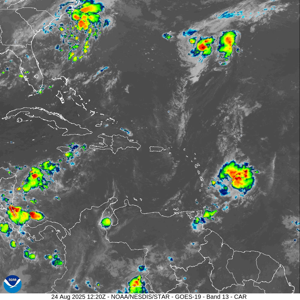
At 8 am, the tropical wave of interest was centred about 2130 miles east-southeast of Antigua and Barbuda and the Leeward Islands, moving west at around 12 mph.
Based on ASCAT Data, maximum sustained winds remain near 25 mph, with higher gusts. Formation chance through 48 hours is low at 30 percent, and formation chance over seven days is high at 70 percent. This means that development in the next 48 hours is unlikely, but there is a significant chance of development over the next seven days.
? There are currently no tropical cyclone alerts, watches, or warnings in effect for Montserrat.

? The next update will be issued by 2:00 p.m. tomorrow, or sooner if required.
Forecaster: Dale Destin